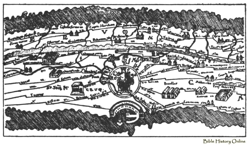
Illustration of a fragment of the Peutinger map, an ancient Roman map. This map shows neither latitude nor longitude and shows very little regard to true geographical conformation and relative position of the countries and bodies of water, but is a very effective map for travels. Public roads of the empire is shown in this map and distances from station to station is given in miles.
Maps of Roads in Ancient Roman Travel
Ancient Images
Bible History Online